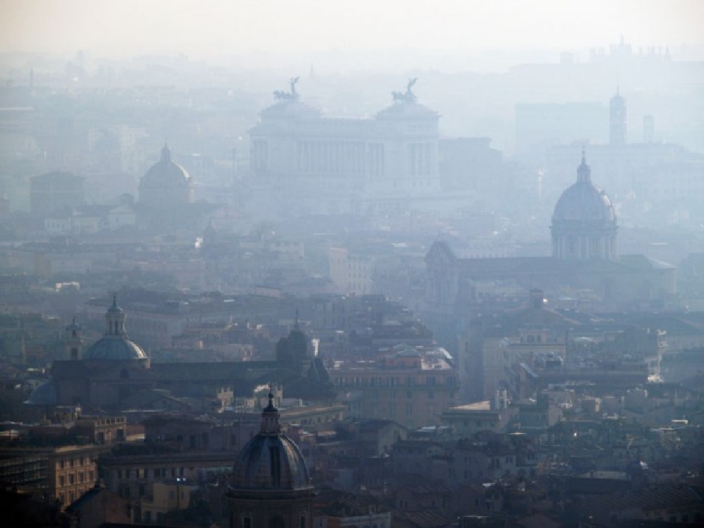
Ancient Greeks believed the environment is our Home, they created the mother earth Gaia and other myths to have everyone understand the importance of nature. Yet already in the Roman Empire there were serious environmental problems – the air was filthy near urban areas and would stink horribly. Do you have any idea about the air pollution rate in your own city? This is what we tried to address regarding our city, Rome, analysing data ISTAT collected for the years 2015-2020 and data in Rome mobility site. First, we analysed the air pollution level in Rome based on the exceedances of limit values; then we tried to find a correlation between the gas emissions and the vehicle density discovering that it all depends on the emission class of the cars in circulation. Afterwards, we compared all the collected data for Rome to the Italian ones.
Sorting data we found that in the capital of Italy, as a synthetic indicator of atmospheric pollution containing the valid measurements and the exceedances of the threshold values of PM10, PM2.5, NO2 and O3 between 2018 and 2020, the data did not change, remaining respectively 13 exceedances for 65 valid measurements. On the contrary Italy, which has seen a significant decrease in valid measurements, has gone from 1099 to 1079; the exceedances, on the other hand, went from 248 to 247. This can be seen in the second bar chart “Air pollution synthesis indicator” of the static infographic, where the summary indicator of atmospheric pollution of the provincial capitals was calculated by taking into account the OMS and regulatory references jointly: (PUEi+POMSi+NUEi+ OLTi)/Mi×100. Considering the monitoring of all the active control units or the quality of the data detected in compliance with the current legislation, the acronyms have different meanings: Mi counts the valid measurements for particulate matter (PM10 and PM2.5), nitrogen dioxide (NO2) and ground level ozone (O3); PUEi counts the exceedances of the legal limits for particulate matter (PM10 and PM2.5); NUEi counts the exceeding of the legal limit over 40µg/m3 of the average annual concentration for nitrogen dioxide; OLTi includes measurements with more than 25 days/year of exceeding the long-term target value for the protection of human health for ground-level ozone; simultaneous exceedances (same control unit) of the OMS reference values for particulate matter (PM10 and PM2.5) are measured as well. As another yardstick for the amount of pollution in the air, data concerning vehicle density and cars circulating by emission class have been added, which is evident in the first bar chart “Vehicle density in Rome”. For vehicles in circulation per km2 of land area with an indicator calculated on the total number used for the transport of people and goods between 2015 and 2020, a rapid growth was recorded from 1752 to 1790, except for some small relapses in year 2018 and in 2020. Nevertheless, also in the Italian rate there was a growth and then it remained stable at 778 for the last 2 years. It should be noted that the rate of vehicles on the road per km2 of urbanised area with an indicator calculated on the basis of the surface of the inhabited areas surveyed by the 2011 Census is significantly higher than the one previously mentioned. A very steep rise in this rate was detected in Rome, from 4462 vehicles to 4540. The same happened for Italy, going from 3743 vehicles to 3905. It may be surprising that the vehicle density is higher in Rome than in Italy, but it should be held into account that these numbers are the average values for the whole country. Finally, the pie chart “Circulating vehicles based on emission class” shows that the data, about the cars circulating based on emission class, recorded a sudden decrease both for Rome and for Italy for the Euro 3 (or lower), 4 and 5 classes. Conversely, in Rome a surprising growth was seen for the Euro 6 class and for Euro 5/6 class diesel cars. A similar situation is identified for Italy (see dynamic infografic – Rome vs Italy).
The data collected led the team to imagine a way the air pollution rate might be reduced: may a solution be the bicycle? Up until now in Rome there are 294km of existing cycle networks, plus 33km in progress, 93km designed and funded, 73km only designed and 36km planned (see the last graph of the static infographic). Do you think it is enough? Now we have an outlook on the quality of the life we are living and we realise the damage caused since the Industrial Revolution. Naturally, the vision of these data is aimed at raising the awareness of people in this critical period in order to improve our lifestyle and the future of the new generations, looking for functional methods to reduce air pollution as well as favouring the development of cycle paths within metropolises, with a return to the good old bicycle.